HTML5 Maps
Put an interactive high-quality HTML5 map to your WordPress powered website! Choose from a number of predefined maps including World, US, UK, France, Germany, Italy etc. New maps and regions being added continuously.
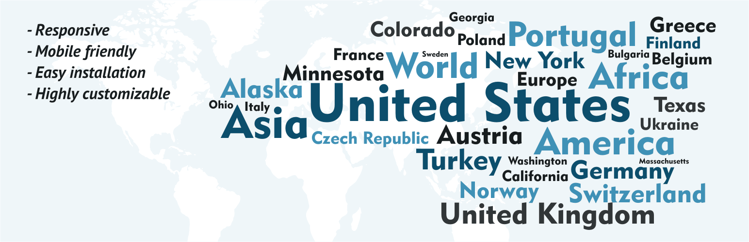
This plugin allows you to embed the colorful interactive responsive map to your WordPress powered website. An interactive map is the best way to provide your website with geographically-related content or effective navigation system. Just add a special shortcode into any page and you will find the map on the website in few seconds. Spend few more seconds to add popups or informational side panels near the map.
The plugin “HTML5 Maps” is based on and uses CDN-hosted map libraries. The free versions of the maps display the “Map by Fla-shop.com” link as required by the license agreement found here. The Premium plugins are branding free and additionally include all required map libraries to put on your local server.
Features
- Interactive map of the given region or country
- Responsive design and custom-color regions
- Works on iPad, iPhone, Android
- Clickable regions (continents, regions, states, counties etc.)
- Popup windows that show when the mouse cursor is over a region
- Customizable landing page links
- Builds into any WordPress page or post as a simple shortcode
Find premium responsive HTML5 maps at Fla-shop.com
Translations
- English – default, always included
- German
- Spanish (quierochat.com)
- French (Josette Ragni)
- Polish (jedstudio.me)
- Portuguese
- Brazilian Portuguese
- Russian