Mapthread brings your adventures to life with interactive, auto-following maps.
Perfect for travel bloggers, hiking enthusiasts, and anyone who wants to tell location-based stories that engage readers.
Storytelling
- Map automatically follows your narrative as readers scroll
- Pauses when readers explore the map themselves, resumes when they scroll on
- Click any marker to jump to that part of the story text
Maps
- Upload a GPX file from any hiking, cycling, or fitness app
- Elevation profile with distance and gain/loss stats
- Street, Satellite, Topographic map styles plus more from other providers (with API keys)
- Fullscreen mode, layer switcher, and optional GPX download for readers
Markers
- Place waypoints anywhere in your story with optional emoji pins
- Find locations by address or paste coordinates
- Import named waypoints directly from your GPX file as Map Marker blocks in one click
- Without a GPX file, markers are connected together using a straight line
Layout
- Two-column desktop view: story on the left, sticky map on the right
- Mobile: map sticky at top (hidden by default)
- Readers can dismiss and restore the map at any time
Perfect For
- Hiking and backpacking blogs
- Travel storytelling
- Cycling route documentation
- Race and event recaps
- Historical narratives with geographic context
How It Works
- Create a post and add the Map GPX block
- Upload your GPX file from the media library
- If your GPX contains named waypoints, click Import as Map Markers to add them automatically — or insert Map Marker blocks manually at key points in your story
- Add coordinates and titles to any markers, then arrange them in your story
- Publish – the map automatically follows as readers scroll!
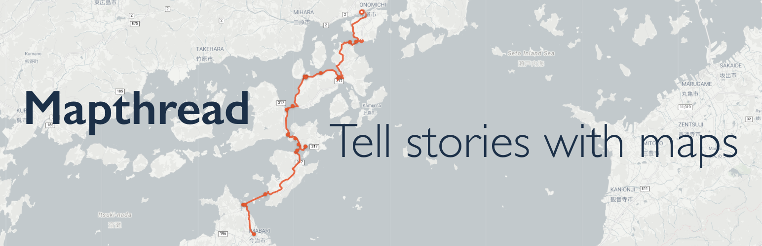
Examples
Compatibility
- Browsers: Chrome 105+, Safari 15.4+
- Themes: Tested on Twenty Twenty-Four and Twenty Twenty-Five. Should work on most block themes. Classic themes are not supported.
Configuring Additional Map Providers (Optional)
Mapthread includes three free map styles out of the box (Street, Satellite, Topographic). You can also connect additional tile providers with an API key for more map styles: Mapbox, Thunderforest, JawgMaps, Stadia Maps.
- Go to Settings > Mapthread
- Enter your API key for any supported provider (Mapbox, Thunderforest, JawgMaps, Stadia Maps)
- Select which map styles to enable for each provider
- Save Changes — enabled styles will appear in the map layer switcher on the frontend